Geographic Information Systems (GIS) bring data and geography together to better understand our world. The Department of Public Health (DPH) uses GIS daily to analyze data, improve efficiency, and solve problems.
How is DPH Using GIS?
- Combating Food InsecurityCombating Food Insecurity

- Fighting MosquitoesFighting Mosquitoes
- Disaster PreparednessDisaster Preparedness

DPH collected data and analyzed it to visually show what areas of the county experience high food insecurity rates. By mapping those areas and Summer Meal sites, DPH knew where to focus efforts to increase access to food.
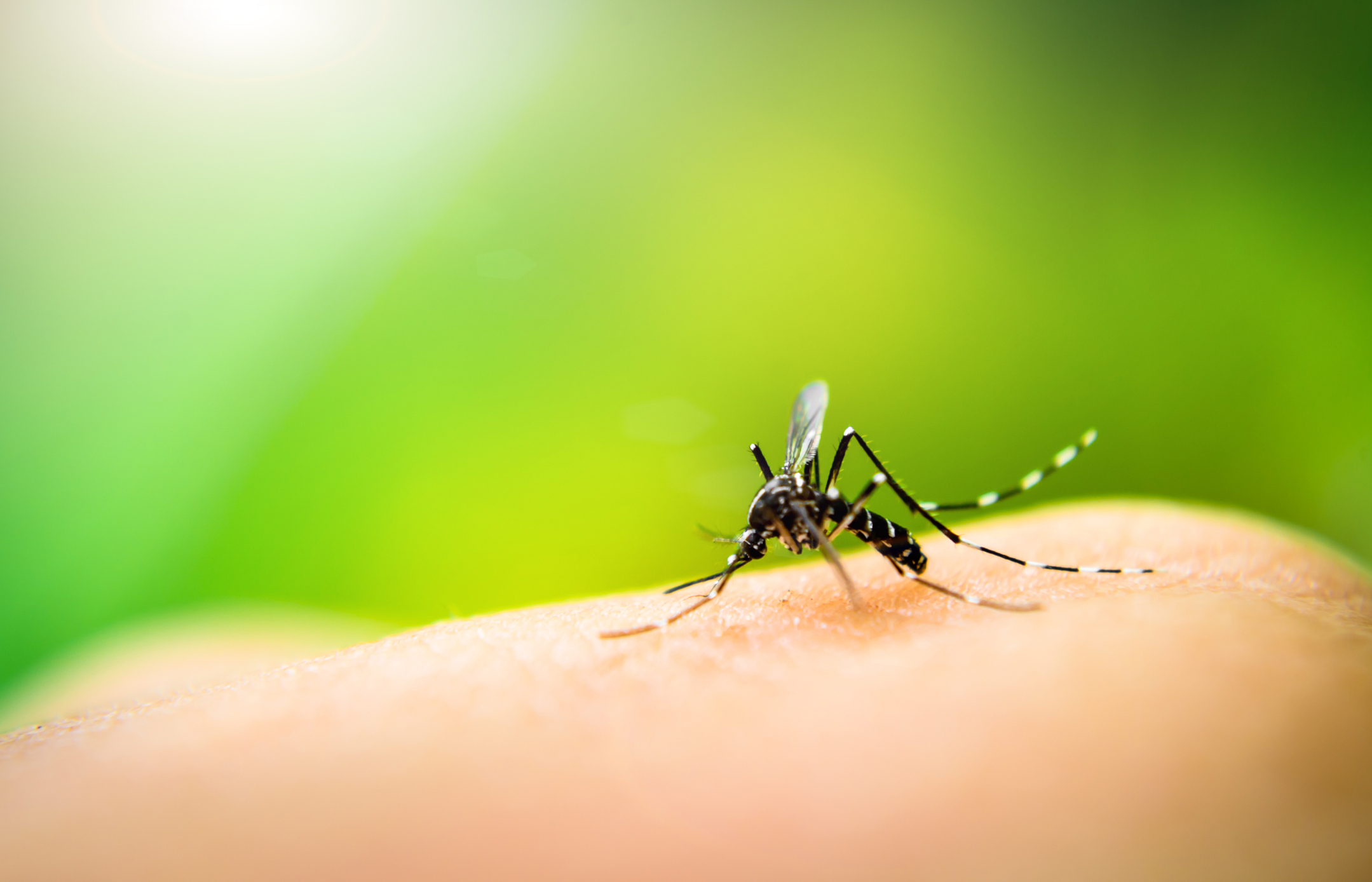
The Mosquito and Vector Control Program (Vector Control) mapped out service requests and compared it with population and economic data. By analyzing this data, Vector Control discovered areas with few service calls and increased outreach and engagement there, which brought much needed mosquito abatement to residents that were unaware of Vector Control’s services.
Responding to disasters is not just the job of firefighters, police, and EMS. Environmental Health Services (EHS) also responds to these major incidents as restaurants, stores, and water systems can be greatly impacted. EHS uses GIS tools to help coordinate information and share it with staff and officials. This quick and coordinated effort helps residents and businesses recover more quickly, helping the community get back to normal operations as soon as possible.